Services
BOUNDARY SURVEYS
Johnny J. Williams Land Surveying performs boundary surveys on land tracts varying in size from the smallest of areas up to thousand acre tracts. These surveys are used for land transfers, land divisions, subdivisions, loan closings, title insurance, property line identification, and boundary line disputes. Property improvements such as homes, garages, driveways, trees, and other additions can be shown on these survey maps. Land surveys are conducted throughout eastern N.C. by our company.
GPS / CONTROL SURVEYS
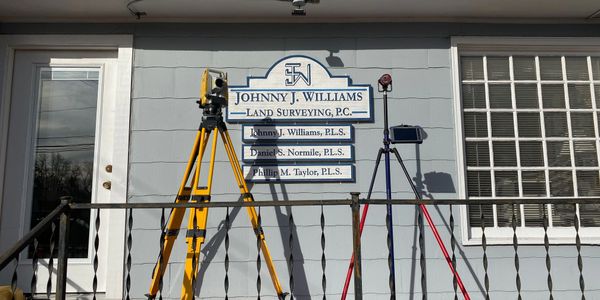
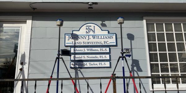
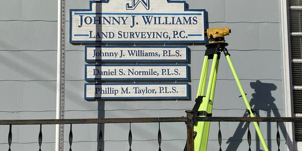
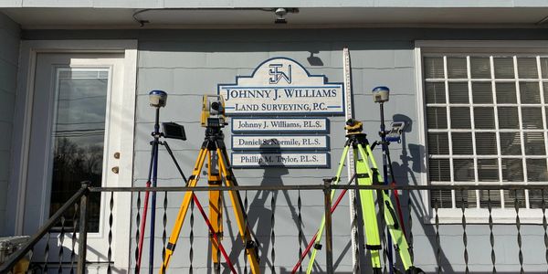
Johnny J. Williams Land Surveying has three survey grade GPS systems that allow the capability to tie all surveys to the N.C. grid system using latitudes and longitudes. This allows each survey to be exported to systems such as Google Earth. In addition, all surveys contain elevations on control points based on mean sea level elevations. This provides clients with valuable information when properties are located in flood zones or near flood hazard areas.
ELEVATION CERTIFICATES AND SURVEYS
Johnny J. Williams Land Surveying also offers elevation surveys and certificates on land, homes, businesses or other structures. These surveys and certificates are used for property owners who need flood insurance on their home or properties within eastern N.C.
TOPOGRAPHIC SURVEYING
A topographic survey is a special type of enhanced survey that gathers data beyond what would be provided in a typical boundary survey. A topographic survey picks up ground elevations and shows ground contours on a map. In addition, public utilities, both above and below ground are shown. These topographic surveys are usually needed for projects where infrastructure will be designed, and drainage patterns established. Johnny J. Williams Land Surveying performs topographic surveys for land developers as well as the general public when needed across eastern N.C.
ALTA SURVEYS
An ALTA survey is a unique survey that requires national standards be adhered to in order for lending institutions to obtain consistent information. The main difference in an ALTA survey is that a closing attorney will furnish the surveyor any and all title exceptions affecting the property. Then, the surveyor must plot and identify each title exception. Furthermore, a higher standard of measurement and location practices are required with an ALTA survey. Most ALTA surveys are used on large projects such as shopping centers, industrial sites, hotels, or restaurants. Johnny J. Williams Land Surveying is available to perform ALTA surveys throughout eastern N.C.
SUBDIVISION SURVEY/DESIGN
Johnny J. Williams Land Surveying does subdivision planning, design, and land surveying. We have designed layouts for numerous subdivisions in the counties served. In addition to the planning and design, Johnny J. Williams Land Surveying will assist in taking the project through the entire permitting process. Lot layout, roadway design, and stormwater drainage plans are examples of details our company handles during the subdivision process.